
Jackson ZIP Code Coverage and Delivery Areas
Four primary postal codes serve Jackson city addresses: 49201, 49202, 49203, and 49204. They describe delivery geography, not a municipal map. The state ZIP map also shows several additional Jackson County codes that serve other communities or post offices. For a particular address, a confirmed postal result matters more than a broad map label. The primary city-serving codes should stay separate from surrounding county codes so a reader does not send a city request to the wrong jurisdiction.
| ZIP | Areas Covered | Post Office | Notes |
|---|---|---|---|
| 49201 | Central and older downtown Jackson, plus surrounding delivery area | Jackson Post Office; USPS shows 113 W. Michigan Ave. lobby address | May extend beyond city line; verify the full address |
| 49202 | East and northeast Jackson delivery area and surrounding addresses | Jackson delivery area | Postal boundary is not a city boundary |
| 49203 | South and southwest Jackson delivery area and surrounding addresses | Jackson delivery area | Confirm the exact street with USPS |
| 49204 | West and southwest Jackson delivery area and surrounding addresses | Jackson delivery area | Confirm city and county jurisdiction separately |
The Michigan Department of Technology, Management and Budget state ZIP boundary map also identifies 49230, 49234, 49240, 49241, 49254, 49259, 49269, 49272, and 49283 in Jackson County. Those codes should not be presented as City of Jackson delivery codes without an address-level check.
Jackson ZIP Verification with USPS
The USPS address lookup is the final source for a deliverable mailing address. Research captured a Jackson result for the 113 W. Michigan Avenue lobby in 49201-1386 and another Jackson result in 49202-2061. Those examples show why a full address can produce ZIP+4 information that a city-wide label does not. The research did not locate a complete Jackson station table, a confirmed PO-box-only ZIP, or a unique institutional ZIP. Do not fill those gaps by guessing from a map.
USPS address lookup provides the address-verification interface used for current Jackson mail geography.
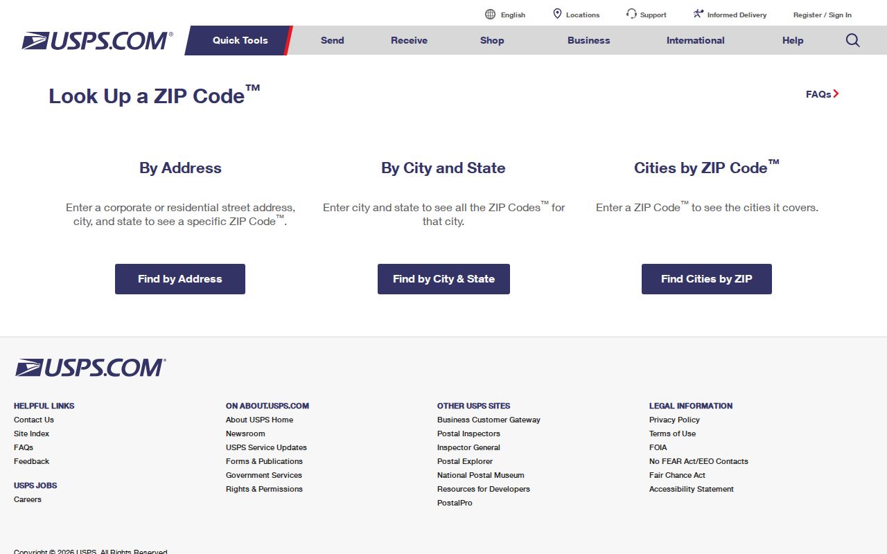
Use the returned postal form as the mailing check, then preserve the street spelling and ZIP+4 separately from an assessor or deed description.
Insider tip: Keep the postal result with the date checked. A property record may use a situs address, a tax file may use a mailing address, and an older Jackson city directory may have no ZIP at all. Writing each form beside its source prevents a current postal correction from overwriting the historical address printed in a record.
Jackson ZIP Directory Parcel Clues
After validating delivery, use the City of Jackson Assessment Property Search and the county parcel viewer for the land record. The city says its assessment file includes sketches, amenities, photos, building-permit lists, transfer history, principal-residence exemptions, and parcel mapping. The live AccessMyGov field inventory was not available during research, so its ZIP filter, field labels, result count, and export behavior should be checked in the interface rather than assumed. A ZIP can narrow an address form, but it does not replace the parcel or property identifier.
Jackson County Parcel Viewer lets a user search or click a parcel, view INFO, and work with the underlying parcel selection.
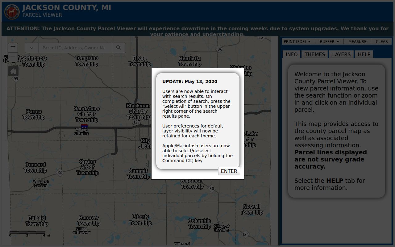
The viewer is useful after ZIP verification because its parcel data can supply the stable legal description or PIN needed when a postal street form changes.
The physical site is the situs address. The tax mailing address can belong to an owner, agent, lender, business office, or another home. The legal description and PIN are title keys. Jackson County warns that parcel lines are not survey grade, so a boundary, easement, or lot-line dispute belongs with the recorded plat, survey, or deed rather than a screen outline.
Jackson ZIP Directory Portal Limits
Not every Jackson record source can search by ZIP. The public GIS viewer is documented as a parcel search and map-click tool, but the research did not capture a ZIP filter or ZIP-wide result mode. City AccessMyGov was linked by the city, but its live fields were unavailable. The Michigan Voter Information Center has an address and status route, yet no public street-wide or ZIP-wide output was confirmed during research. A request for existing voter records belongs with the county or city clerk under Michigan FOIA, with the statutory redactions applied.
| Jackson ZIP-capable check | Input or field recorded | What it confirms |
|---|---|---|
| USPS address lookup | Street, city, state, or ZIP | Current deliverable mailing address and ZIP result |
| Jackson County Parcel Viewer | Parcel search or map click | Parcel data and mapped situs, not a documented ZIP filter |
| City Assessment Property Search | Live field labels not captured | City states that the assessment file contains parcel and transfer material |
| Michigan voter route | Address or status lookup; exact fields not captured | Individual status route, not confirmed ZIP-wide output |
Michigan's public voter-record rule comes with field limits. Driver license or state ID number, month and day of birth, phone, email, registration-agency identity, and declination information are withheld under MCL 168.509gg. Michigan does not register voters by party. A released voter record therefore should be read only for the fields and date actually supplied by the custodian.
Note: A portal that accepts an address is not necessarily a ZIP directory, and a ZIP match does not establish that the same person appears in every record system.
Jackson ZIP Code Resident Search Steps
Use a ZIP as an address-organizing clue, then move to the custodial record that can actually answer the narrower question. USPS handles deliverability. Jackson County GIS handles parcel selection and reports. The city assessment file supplies property details the city identifies. A defined voter-record request may be made through the proper clerk under the Michigan Freedom of Information Act, 1976 PA 442, MCL 15.231-.246. The public body has five business days to respond and may take one ten-business-day extension; charges are limited to the statutory search, review, separation, copying, and mailing costs.
- Enter the complete Jackson street address in USPS ZIP Code Lookup and preserve the returned postal form and ZIP+4 if supplied.
- Check whether the location is inside City of Jackson limits or only has a Jackson mailing line, using parcel geometry and taxing jurisdiction.
- Open the confirmed parcel in county GIS, copy the address, PIN, legal-description fragment, and source date, then inspect the available parcel output.
- Use the city assessment route for city parcel detail, while checking the live interface before relying on an assumed field or filter.
- For a documented public voter record, request an existing street, precinct, or area record from the appropriate clerk and expect protected fields to be removed.
Once the ZIP is narrowed to a specific street and parcel, the Jackson By Street directory provides the address-focused record sequence. Keep the ZIP step separate from title research, because recorded deeds rely on party names and legal descriptions rather than postal delivery codes.
Jackson ZIP Directory Address Terms
The four address values used in a Jackson ZIP search do different work. Saving them separately reduces false matches across a renamed street, a different tax recipient, or a historical directory entry. The postal form confirms mail delivery. The parcel keys and legal description carry the land trail. None of these fields alone provides a complete list of people at an address.
- ZIP and ZIP+4
- A ZIP identifies a postal delivery area. ZIP+4 adds a more precise delivery segment for the complete mailing address returned by USPS.
- PO-box ZIP
- A code used for post-office boxes rather than an ordinary street-delivery area. No separate Jackson PO-box-only code was confirmed in the research.
- Unique ZIP
- A code assigned to a single organization or facility. No Jackson unique ZIP was confirmed in the researched official sources.
- Carrier route
- A postal delivery sequence within a ZIP area. It is a mail-operation unit, not a municipal boundary or household roster.
- Situs and legal description
- Situs is the physical parcel location. A legal description or PIN is the stable title reference when an address form changes.
For every Jackson search, retain the address exactly as each custodian prints it. A postal correction, a tax mailing line, and a historical street reference can all be valid for different purposes and dates.
Jackson ZIP Code Lines and City Limits
ZIP boundaries and Jackson city limits overlap but do not match. Jackson is a compact city inside a wider county record geography, and the four primary ZIPs can extend into surrounding delivery areas. An address that says Jackson on mail may be outside the City of Jackson, while a county parcel result can cover land under a different local government. For city assessment or permit material, verify the municipal jurisdiction. For county parcel data, look at the mapped parcel and taxing context. For mail, use USPS.
The distinction is especially important near surrounding Jackson County ZIPs. The county map may place a nearby delivery area beside Jackson, but the city request, assessor, or permit custodian can still be different. The research found no official Jackson ZIP split or realignment year, so a historical change should not be invented. Confirm current delivery with USPS and preserve the date and address form used for every search.
Jackson ZIP Directory Needs Old Streets
Historic Jackson records often predate postal codes. Reverse and criss-cross directories use a street name and number, while older Polk entries can be searched by surname and street section. Do not add a modern ZIP to an 1880s directory query as if it were printed there. Preserve period street spelling and city or township name. Then use the parcel PIN or legal description to bridge from a current address to a deed or map when the street name has changed.
Jackson has several documented continuity traps. Milwaukee Street became Carl Breeding Way in 2024. Earlier materials describe changes involving Cooper, Francis, Airline, Liberty becoming East Washington, and Bridge becoming East Morrell. Search the old and current forms. The 1893 Jackson Sanborn set has 25 sheets and can help place a building footprint, but it does not name every occupant or establish current delivery geography.
Note: When an older address fails, test the period street name, directional form, and legal description before concluding that the Jackson record is absent.
Jackson ZIP Directory Results Need Care
Myth: a Jackson postal-code result is a complete resident roster. It is not. Parcel records can identify owners and tax-mail recipients, but an owner may be an estate, trust, corporation, lender, government body, or absent individual. Voter records are public through FOIA but have statutory redactions and protected-address limits. Private utility and delivery-customer information is not a public resident roll, and Michigan's Address Confidentiality Program can provide eligible people with a substitute address and mail forwarding.
Use the result for lawful personal research, family history, civic record verification, or a property question. Do not use parcel selection, mailing labels, or a released record to target, harass, or harm anyone. When a public record needs correction, contact its actual custodian with the parcel, case, or index identifier rather than assuming a postal or directory change controls every source.