
Jackson Street Directory Address Walkthrough
For a Jackson address, first decide whether the parcel is actually within the City of Jackson or in a township using a Jackson mailing address. The city assessor and Jackson County GIS serve different roles. Assessment data can supply an owner, tax-mailing address, transfer clues, a principal-residence exemption, permits, sketches, photos, and a parcel map. GIS adds the parcel's legal description, mapped position, and surrounding parcels. Neither result is a household roster, so record the source date and avoid treating an owner or mailing recipient as a confirmed occupant.
- Normalize the house number, directional prefix, street suffix, and any apartment or unit. Preserve the printed form as well as the search form.
- Try the City of Jackson Assessment Property Search entry by address, then save the owner, situs address, mailing address, parcel identifier, legal-description fragment, transfer clue, and exemption clue separately.
- Open the parcel in the Jackson County Parcel Viewer, use INFO, and copy the PIN and legal description before moving to another record.
- For a segment of road, click adjoining parcels or shift-drag the visible group. Use Ctrl-click to add or remove a parcel before reviewing the selected list.
- Search the owner as a grantee in the Register of Deeds index, read the seller as grantor, and use the same legal description to locate the earlier instrument.
- If a defined street or precinct voter record is needed, request an existing public record from the appropriate clerk under Michigan FOIA and expect statutory redactions.
- For an older household, read the street section of a Polk or Bresser volume and check the newspaper page image, not OCR alone.
Keep separate columns for recorded owner, mailing recipient, physical parcel, historical occupant, source, and date. The comparison is what turns several Jackson street-directory leads into a cautious conclusion.
Jackson Address Keys by Parcel
Four address values often appear in a Jackson street search. The situs address is the physical parcel. The mailing address is where assessment or tax correspondence goes and may belong to an agent, lender, business, or another home. USPS formatting checks deliverable mail, while a PIN and legal description carry the title connection through a renamed street or altered house number. For title work, the legal description may use a subdivision lot and block, a condominium unit, or metes and bounds.
- Parcel or PIN
- A parcel identification number is the GIS key for a land unit. It helps connect an address to assessment and mapped data.
- Situs address
- The physical location of the parcel. It is not automatically the owner's mailing address or a list of everyone at the location.
- Plat
- A recorded subdivision map that can connect a lot and block to the street layout. Use the recorded plat or survey for boundaries, not a screen line.
- Criss-cross directory
- A reverse directory organized by street and house number. It is useful for historical address work, but commonly names only a head of household or business.
Jackson's parcel lines are not survey grade. The county says owner, legal, and tax data in the viewer come from Equalization, and layer images may not align exactly. Ask the City Assessing office or the county office to clarify a disputed record rather than drawing a boundary conclusion from the map.
Note: A matching mailing address, street string, or ZIP is only one clue and should be compared with a dated parcel or recorded instrument.
Jackson GIS Tools for Streets
The Jackson County Parcel Viewer is the strongest public tool for working a Jackson street as parcels. A search result can select the parcel automatically, or a reader can zoom in and select it manually. INFO reveals the selected parcel data. THEMES and LAYERS add map context, though the complete live layer list was not captured in the research. MORE and VIEW ALL return a selected-parcel list, while printable maps, a parcel report, mailing labels, and a CSV export are available for the selected data.
| Jackson GIS control | How it works | Street-search use |
|---|---|---|
| Search or manual click | Map search or a parcel click selects a parcel. | Start with a confirmed house and open INFO. |
| Shift-drag and Ctrl-click | Shift-drag selects multiple parcels; Ctrl-click adds or subtracts a parcel. | Build a visible street segment without mixing in unrelated lots. |
| BUFFER distance | Enter a distance in feet and select parcels in that buffer. | Use for nearby parcels. It cannot run with multi-selection. |
| VIEW ALL and exports | Lists selected parcels and offers CSV, mailing-label PDF, parcel report, and map output. | Save a dated parcel set, not a claim about all people on the street. |
| MEASURE and CLEAR | Measures map distance or clears selections and graphics. | Document the selection method and reset before a new Jackson street search. |
The Jackson County Parcel Viewer shows the controls used for a street-level parcel review.
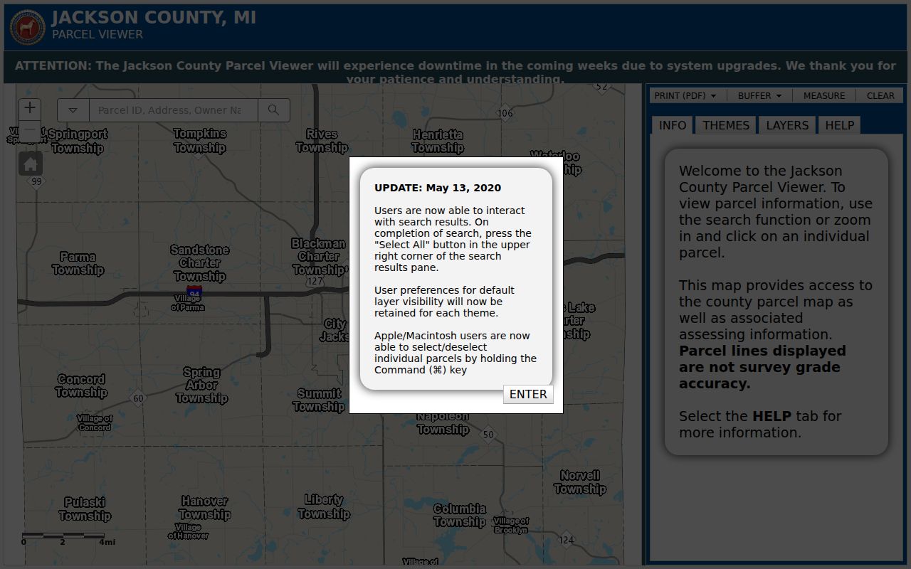
Use the viewer's selection tools to organize a short Jackson street segment, then verify legal boundaries through recorded plats, surveys, or deeds.
Jackson Street Names Need Crosswalks
A simple exact-address search can fail in Jackson because road names changed. Milwaukee Street became Carl Breeding Way in 2024 along the one-mile stretch from Alpine Drive to E. South Street, with signs changed at 15 intersections. Earlier changes include Liberty Street to East Washington Avenue and Bridge Street to East Morrell Street. The city material also describes Cooper, Milwaukee, Airline, and Francis conversions, while the 2024 notice refers to the permanent Francis Street renaming for Martin Luther King Jr.
Myth: A modern street label is enough to find every Jackson record. It is not. Search the current and prior name, directional variants, a lot-and-block phrase, and the PIN or legal description. Older Polk volumes may carry a period spelling with no ZIP at all. The city's Carl Breeding Way notice is a useful recent crosswalk, but it does not replace checking the instrument or map from the relevant date.
Jackson's older routes grew around the Grand River, rail corridors, and Michigan Avenue, rather than a uniform grid. Preserve the municipality and historic spelling in a search log. That small habit makes a Jackson street directory more reliable across eras.
Jackson Street Permits and Code Files
Address-keyed city records can add timing and project context. City Assessing says its parcel files include building-permit lists, transfer history, and principal-residence exemptions. Community Development reviews construction, issues permits, and inspects covered work. Permit forms may identify an owner or applicant, work address, contractor, scope, estimated value, square footage, date or status, and historic-district approval. Those fields point to a project participant, not every person who lived at the address.
The city links a Permit Activity Search, but the research session could not confirm its live form, fields, coverage, or result format. For a missing online result, contact Jackson Community Development or submit a written request for an existing, address-and-date-bounded record. Code and inspection matters also route through that department. The city's non-owner-occupied and vacant-property inspection program is address evidence, not a complete list of occupants.
Note: Ask for a specific existing permit, inspection, or complaint record by address and date, rather than asking the city to create a new resident analysis.
Jackson Street Directory Record Coverage
Each Jackson address source answers a narrower question than a street directory reader may expect. The assessment card is useful for current land administration. GIS groups parcels. The Register of Deeds shows recorded instruments. A released voter record can document registration within its public scope. Historical directories help identify a dated address listing. Read them as separate layers and retain the office or collection that supplied each layer.
| Jackson address record | Custodian | What it can show | Access channel |
|---|---|---|---|
| Assessment parcel card | City Assessing | Owner, mailing and situs details, sketch, photo, permits, transfer clues, and PRE | AccessMyGov link, counter, or records request |
| GIS parcel | County Equalization and GIS | Parcel geometry, owner, legal and tax context, selected parcels, and map layers | Public viewer; GIS phone 517-788-4032 |
| Deed, mortgage, or plat | Jackson County Register of Deeds | Recorded title chain, legal description, security instruments, and subdivision reference | Deeds Online, 12th-floor counter, and office assistance |
| Public voter record | County, city, or state election custodian | Released registration fields, address, status, and precinct where allowed | Michigan FOIA request with MCL 168.509gg redactions |
| Permit or inspection file | City Community Development | Address work or compliance trail and identified project participants | Permit hub, department contact, or FOIA |
| Polk or Bresser listing | Jackson District Library or Library of Michigan | Historical address, head of household, occupation, phone, owner or renter marks, and moves | Library, catalog, microfilm, or licensed database access |
Jackson County data can include a broader geography than the city. When a street has township and city segments, compare taxing jurisdiction, parcel geometry, and postal form before deciding which assessment office holds the authoritative card.
Jackson Deeds Behind Each Parcel
The Jackson County Register of Deeds describes online grantor and grantee searches for deeds, mortgages, and miscellaneous documents from 1964 back to 1800. Its FAQ separately describes a 1965-present workflow. Treat 1964 and 1965 as a transition to verify, not as a promise that every document image or field is available online. A recorded deed proves an instrument and its parties, not a current household.
When a name search stalls, use the legal description, lot, or subdivision information with staff. The Register of Deeds counter is at 120 W. Michigan Avenue, 12th floor, Jackson, and staff can assist with name or legal-description searching. County material says copies may be obtained online or in the office; the research did not establish image charges or the live field order. The office also offers a free Property Alert Notification signup for recorded documents.
The Jackson Deeds Online search is the source represented below.
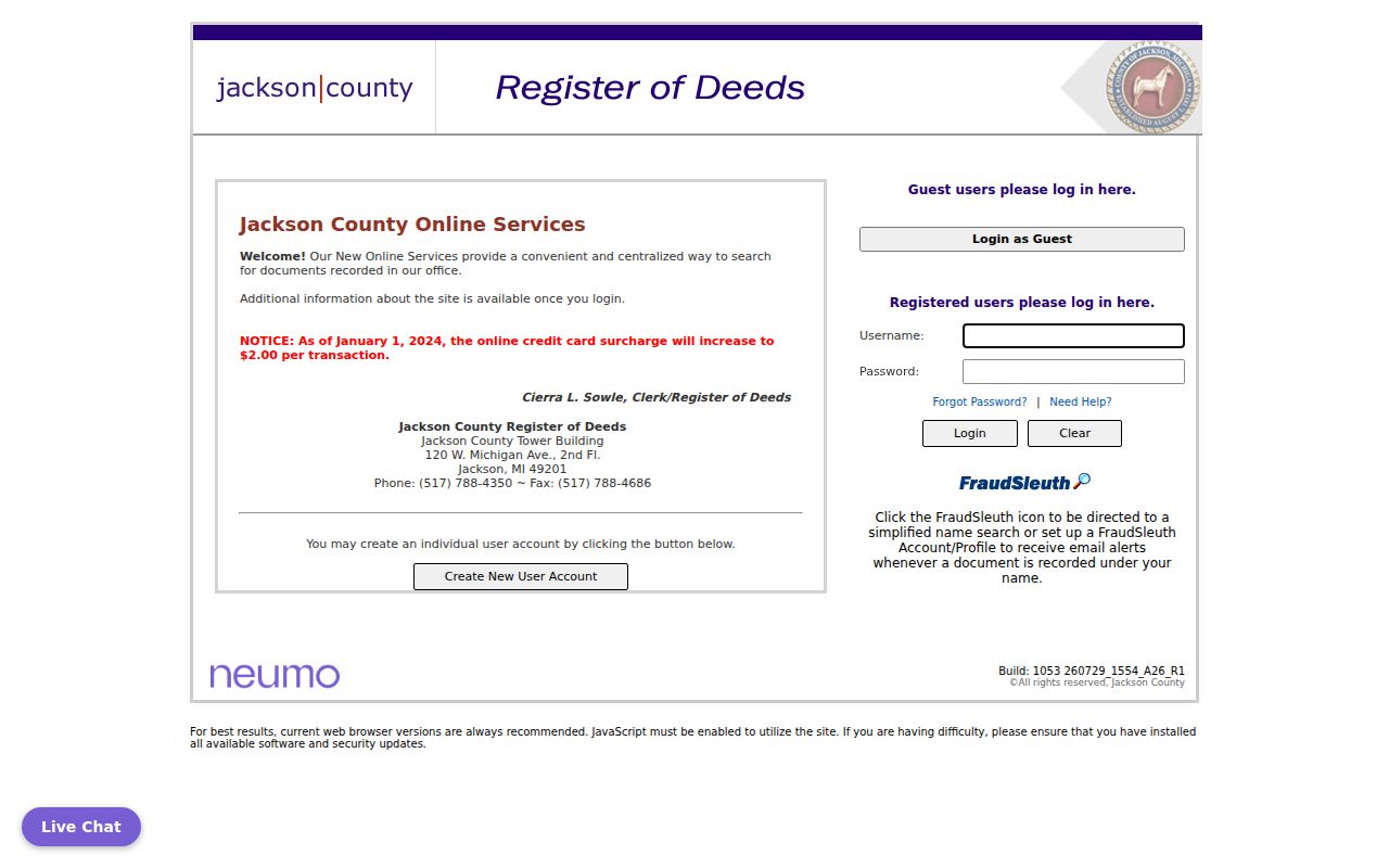
Use grantor and grantee directions with the same legal description to connect a Jackson parcel to its earlier recorded owners and instruments.
Jackson Street Voter Record Requests
Michigan says voter-registration records are public documents through FOIA, and MCL 168.509p requires a statewide street-address index with local access. That does not mean a web search lists every registered person on a Jackson street. The Michigan Voter Information Center was not available for full field inspection during research. For a defined street segment or precinct, ask the city or county clerk, or the Bureau of Elections, for an existing record and specify the date, fields, and format requested.
MCL 168.509gg withholds driver's-license and state-ID numbers, month and day of birth, phone, email, registration-agency identity, and declination information. Michigan does not register voters by party. The Michigan FOIA guidance states that a public body has five business days to respond and may take one ten-business-day extension. The fee is limited to statutory search, review, separation, copying, and mailing costs.
Jackson street-directory work should label this layer as released voter records, with the request date and redactions. A protected participant may use a designated address through the state Address Confidentiality Program, so an absent physical address is not a residence conclusion.
Jackson Reverse Directory Clues
Polk directories are the earlier Jackson name-and-address trail, while Bresser or criss-cross directories are more useful when an address is already known. Bresser street sections list a head of household or business in house-number order and can include phone number, owner or renter notation, new arrivals, or moves. The exact Jackson shelf continuity must be checked, but identified directory leads run from 1885 through 1975, with Bresser's reverse-directory format described by the Library of Michigan as a later era resource.
The Jackson District Library Local History Archive and reference staff are the local fallback when a volume is not open online. Read the title page, year, abbreviation key, surname listing, street section, and phone section. Then compare the result with a deed, census, permit, or newspaper item from the same period. The historical collections themselves are described in the Jackson city directories.
Note: A missing address entry can reflect a changed street name, an unlisted telephone, a missing volume, or a head-of-household-only format.
Limits of a Jackson Street Directory
A Jackson street directory cannot identify every person at every address. Property files do not automatically list non-owner occupants or all household members. Utility and delivery customer records are not public resident rolls, and motor-vehicle address information is restricted. A voter hit has a date, a registration purpose, and statutory redactions. An owner can be an estate, trust, corporation, lender, or public body. A tax-mailing address can be somewhere else entirely.
Use at least two unrelated records before drawing a limited conclusion. For example, an assessment owner plus a principal-residence exemption can support an owner-occupancy possibility; a same-year directory or newspaper item may support a historical address listing. The Michigan Address Confidentiality Program protects eligible people through a designated address and mail forwarding. Treat confidentiality as a protection, not a failed search.
Lawful use. Jackson address records are for personal, lawful research and property or family history. Do not use them to stalk, harass, intimidate, or harm anyone.